
 | ||
Cavendish is a settlement in Newfoundland and Labrador.
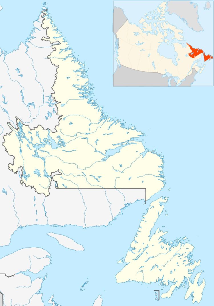
Map of Cavendish, NL, Canada
Cavendish is located on Route 80, off the Route 1 (Trans Canada Highway) exit at Whitbourne. It lies on an area of Cambrian-era shale, slate, and limestone; a significant limestone prospect lies about one kilometer south of the settlement. Soils are mapped as stony loam podzols of the Cochrane and Turk's Cove series. Commuting to St. John's takes approximately 1.5 hours and is a 130 kilometer drive. Neighbouring communities are "The Town of Hearts Delight - Islington" to the north and "Whiteway" to the south. Approximately 150 people currently live in Cavendish, and the population peaked in the year 1985 at approximately 300 year-round residents. The Government wharf has been removed but some historic fishing stages and buildings remain. Semi-annual festivities include "Come Home Year", Canada Day celebrations, Bonfire Night and Jannying / Mummering at Christmas, and a new celebration called beach fest, which will be the third annual this August 2011.
There are two churches in the community, the Anglican and United church are both located in the middle of the community near the Causeway. There are three cemeteries in Cavendish; the Anglican and United cemeteries are located on the hill below the 'Lookout', and the Salvation Army cemetery is located across from where the Orange Lodge used to be located on the main road just down from Harrison Greens garage.
Notable areas of Cavendish include:
- The Community Centre (aka the Firehall).
- "the point" up past both United and Anglican cemeteries popular for camping. - Round Pond and Long Pond (located on the North-East end of the community).
- "The Pinch" a road going from the main highway to Round Pond.
- "Peters Finger" an old field and wooded area up on the top of the hill past Berts.
- "The Lookout", the hill above the beach which is where the major Canadian flag is placed, and where the Canada day celebrations start on July 1 .
- White Point which is the land jutting out past the falls.
- Juniors Path (aka Amos's Path) which leads from the Track down near the churches.
- The Doughnut which is farmland up behind Juniors Path.
- "Highland Mash" a marshy area located North of Round Pond.
- "Highland Ground" a shoal located approximately one kilometer off shore, it was the choice fishing spot years ago where codfish nets were hauled.
- "Mershall Path" a path located on the back side of Long Pond which had a large 'droke' of wood.
Businesses located in Cavendish include a sawmill, one general store (now seasonally operated), a campground and a take-out plus several small-businesses operated out of various homes. In past years several other businesses such as an Insurance broker, a clothing manufacturer (knitted sweaters, custom candles and other homemade goods) a garage and other stores existed.