Elevation 22 m | Local time Tuesday 1:01 AM | |
 | ||
Weather 4°C, Wind S at 8 km/h, 83% Humidity | ||
Causeway (Irish: an Tóchar / Ceann an Tóchar, historically anglicised as Kantogher) is a village in County Kerry in Ireland. The village provides a range of services for the area, including two shops, a shop/post office, a service station, two hairdressers, a fast food outlet, a funeral home, a butcher, four public houses, a community centre, a GAA pitch, a health centre, a church, a primary school, and a secondary school.
Contents
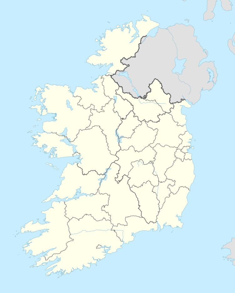
Map of Causeway, Co. Kerry, Ireland
Education
Causeway Comprehensive School is a co-educational school offering a complete second level education to pupils from Kerryhead to Lisselton and from Ardfert to Dromclough.
Geography
Causeway is approximately 16 miles (26 km) from Tralee on the R551 regional road. Causeway Parish is bordered to the south by Ardfert/Kilmoyley, to the west by Ballyheigue and to the northeast Ballyduff. To the north is the Shannon Estuary and the cliffs of Meenogahane.
History
"An Tóchar" is Irish for "the causeway". The village was founded by on an ancient Celtic roadway which originated in the neighbouring parish of Ballyheigue and was reputed to have ended in Tara, seat of the High-Kings of Ireland.
Shannonside Local Radio operated from Causeway in 1987.
According to 2006 census figures, the population of Causeway Parish was 568, a decrease of 44 since 2002.
The 2010 Kerry Fleadh Cheoil took place in Causeway from 23 to 27 June.
