
OS grid reference SW430279 Post town Penzance Dialling code 01736 | Sovereign state United Kingdom Postcode district TR19 | |
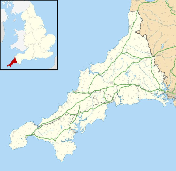 | ||
Catchall is a hamlet in west Cornwall, England, UK. Catchall is situated 1 mile (1.6 km) south-east of Sancreed (where the 2011 census population was included ) at around 310 feet (94 m) above sea level at the junction of the B3283 with the A30 main road.
Map of Catchall, Penzance, UK
There are a number of prehistoric standing stones nearby that have been scheduled as ancient monuments by English Heritage; the Blind Fiddler, the Long Stones and Tresvennack Pillar are all within 1 mile (1.6 km) of Catchall. The Blind Fiddler is a single freestanding monolith measuring 3.3m high, 1.9m wide and 0.4m thick. The Long Stones (also known as the "Sisters" or "Triganeeris Stones") are two upright monoliths standing approximately 5.5m apart. Both stones are over 2m high. Excavations revealed that between the two stones is a rectangular pit. The Tresvennack Pillar is a single upright monolith with a large vertical crack and standing almost 4m high.