
Country United States Elevation 211 m Population 5,934 (2010) Area code 706 | Time zone Eastern (EST) (UTC-5) Zip code 31804 Local time Monday 10:35 AM | |
 | ||
Weather 18°C, Wind S at 19 km/h, 58% Humidity | ||
Cataula is an unincorporated community in Harris County, Georgia, United States. As of the 2010 census, the population was 5,934. It is part of the Columbus, Georgia-Alabama Metropolitan Statistical Area.
Contents
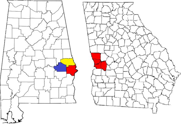
Map of Cataula, GA 31804, USA
History
The town's namesake is thought to originate from a Creek Indian word which means either Big Rock or Dead Mulberry.
Geography
Cataula is located at 32°45'52.81" North, 84°54'4.68" West (32.640602, -84.9013). It is located along U.S. Route 27, which runs north to south through the city, leading south 15 mi (24 km) to Columbus and north 28 mi (45 km) to LaGrange. Georgia State Route 315 meets U.S. Route 27 in the city limits for a very short concurrency. Atlanta is 81 mi (130 km) by road to the northeast. Cataula sits at an elevation of 692 feet (221 meters) above sea level, north of the fall line.
Demographics
As of the 2010 census, Cataula was 85% White, 13% Black or African American, 0.07% Hispanic, 0.003% Asian, and 0.0001% Hawaiian/Pacific Islander.
Education
The community is home to two of the seven schools in the county: