
State Paraná Area 2,532 km² Area code 42 | Region Southern Time zone UTC -3 Population 67,082 (2010) | |
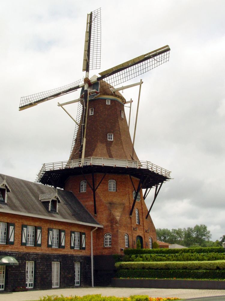 | ||
Mesoregion Centro Oriental Paranaense Points of interest Buraco do Padre, Parque Lacustre Castro PR, Casa da Praça, Museu do Tropeiro, Moinho Holandes | ||
Castro is a municipality in the state of Paraná in the Southern Region of Brazil. In 2010 it had a population of 67,082 people. The main road running through the town is the PR-151 road.
Contents
Map of Castro - Paran%C3%A1, Brazil
Economy
Castrolanda is a colony that was founded by Dutch immigrants between 1951 and 1954. Testament to this there is a windmill in Castro. Its economy is based on agricultural production and dairy farming which is one of the most important in this region that is considered the largest dairy in Brazil due to their genetic quality. It has a considerable production of grain, mostly soy and beans. Also having one of the largest agricultural cooperatives in Brazil, which bears the name of the colony.
Notable people
References
Castro, Paraná Wikipedia(Text) CC BY-SA