
Ward 5 Local time Monday 4:12 AM | Quadrant NE Established 1980 Population 6,180 (2006) | |
 | ||
Weather -13°C, Wind NE at 2 km/h, 86% Humidity Restaurants Golden Hill Chinese Food, La‑Zee‑Za Pizza & Pub, Asian Grill and Apple Jack Pizza, Afghan Chatkhara Restaurant | ||
Castleridge is a residential neighbourhood in the north-east quadrant of Calgary, Alberta. It is located east of the Calgary International Airport and is bounded by 64 Avenue N to the north, 44 Street E to the west, McKnight Boulevard to the south and Falconridge Boulevard to the east.
Contents
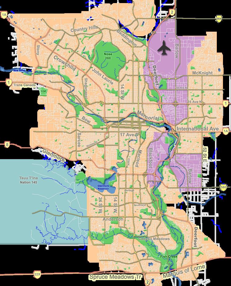
Map of Castleridge, Calgary, AB, Canada
Castleridge was established in 1980 on land transferred from the Municipal District of Rocky View to the city in 1961. It is represented in the Calgary City Council by the Ward 5 councillor.
In 2008 the Ahmadiyya Muslim Community opened Baitun Nur, the largest mosque in Canada, in Castleridge.
Demographics
In the City of Calgary's 2012 municipal census, Castleridge had a population of 7003609600000000000♠6,096 living in 7003195400000000000♠1,954 dwellings, a 0% increase from its 2011 population of 7003609800000000000♠6,098. With a land area of 1.2 km2 (0.46 sq mi), it had a population density of 5,080/km2 (13,200/sq mi) in 2012.
Residents in this community had a median household income of $57,923 in 2000, and there were 19.5% low income residents living in the neighbourhood. As of 2000, 34.7% of the residents were immigrants. A proportion of 8% of the buildings were condominiums or apartments, and 24.8% of the housing was used for renting.