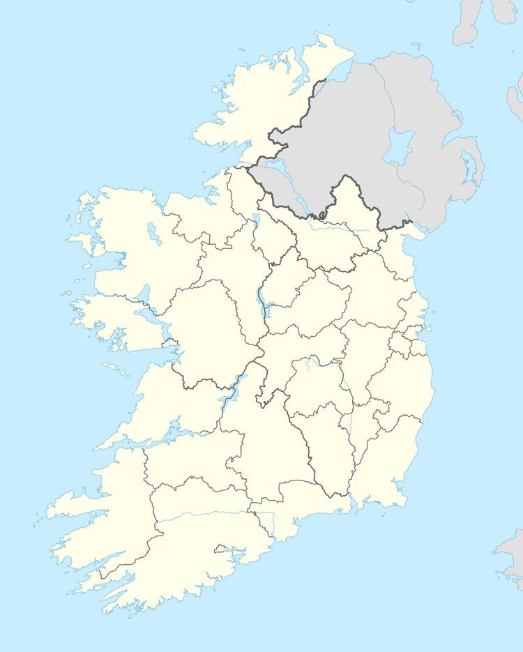
Irish grid reference N469405 | ||
 | ||
Castlelost (Irish: Caisleán Loiste) is a civil parish in County Westmeath, Ireland. It is located about 12.81 kilometres (8 mi) south of Mullingar.
Map of Castlelost, Heathfield, Co. Westmeath, Ireland
Castlelost is one of 10 civil parishes in the barony of Fartullagh in the Province of Leinster. The civil parish covers 9,444.4 acres (38.220 km2).
Castlelost civil parish comprises the village of Rochfortbridge and 16 townlands: Castlelost, Castlelost West, Clontytallon, Collinstown and Kiltotan, Derry, Drumman, Farthingstown, Gallstown, Garrane, Gneevebane, Gortumly, Kilbrennan, Kiltotan and Collinstown, Oldtown, Piercetown, Rahanine and Rochfortbridge.
The neighbouring civil parishes are: Carrick, Kilbride and Pass of Kilbride to the north, Castlejordan (County Meath) to the east, Castlejordan (County Offaly), Croghan (County Offaly) and Newtown to the south and Clonfad to the West.
