
Time zone WET (UTC+0) Local time Monday 10:45 AM | Irish Grid Reference V592605 | |
 | ||
Weather 8°C, Wind NW at 35 km/h, 74% Humidity | ||
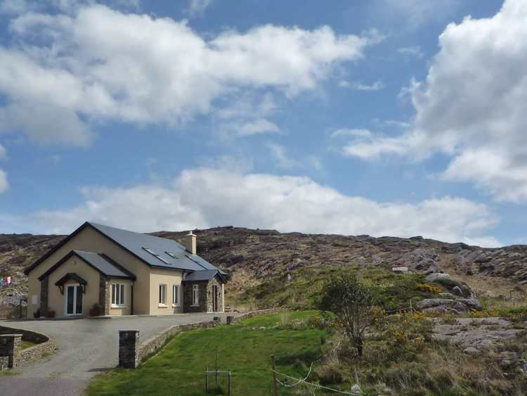
Castlecove (Irish: Cuan an Chaisleáin) is a village in County Kerry, Ireland, located on the Iveragh peninsula on the N70 road which forms part of the Ring of Kerry. It is situated on the southwestern side of the peninsula. "Cuan an Chaisleáin" in Irish means the same as "Castlecove", but an officially recognised Irish name for the town is "An Siopa Dubh".
Map of Castlecove, Co. Kerry, Ireland
An Siopa Dubh, which translates to The Black Shop, is the name of a pub/shop in Castlecove. Historic map from 1897-1913 labels the village as Blackshop.
References
Castlecove Wikipedia(Text) CC BY-SA