
Topo map NTS 104G/16 Prominence 55 m | Elevation 1,862 m | |
 | ||
Mountain range Pacific Coast Ranges, Boundary Ranges People also search for Cartoona Peak, Nuthinaw Mountain | ||
Castle Rock is a volcanic plug located 13 km (8 mi) west of Iskut and 8 km northwest of Tuktsayda Mountain in British Columbia, Canada. Castle Rock is part of the Pacific Ring of Fire that includes over 160 active volcanoes and is in the Klastline Group, Northern Cordilleran Volcanic Province and last erupted in the Pleistocene.
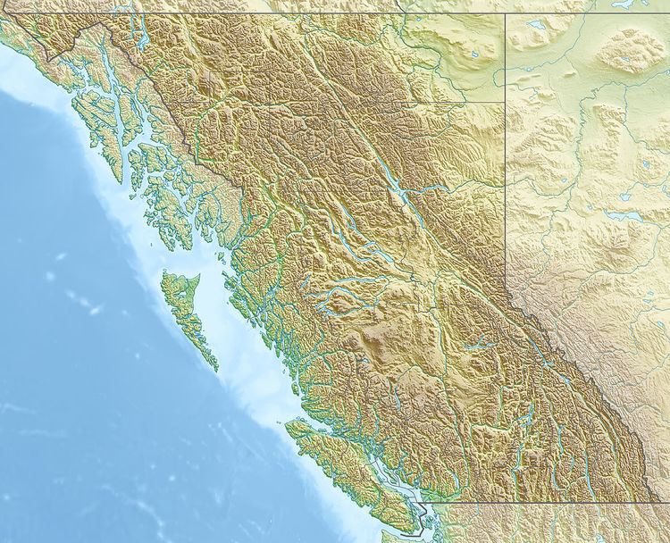
Map of Castle Rock, Kitimat-Stikine D, BC, Canada
Castle Rock is one of the top 10 Canadian volcanoes with recent seismic activity, the others include: Mount Edziza volcanic complex, Mount Cayley, Hoodoo Mountain, The Volcano, Crow Lagoon, Mount Silverthrone, Mount Meager, Wells Gray-Clearwater volcanic field and Mount Garibaldi.
References
Castle Rock (volcano) Wikipedia(Text) CC BY-SA