
Country United States Time zone Central (CST) (UTC-6) Elevation 286 m | State Minnesota ZIP code 55010 Local time Monday 3:44 AM | |
 | ||
Weather 10°C, Wind S at 19 km/h, 94% Humidity | ||
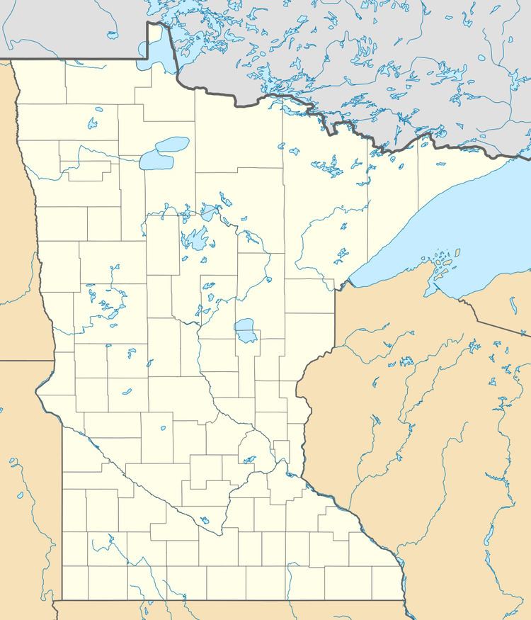
Castle Rock is an unincorporated community in Castle Rock Township, Dakota County, Minnesota, United States.
Contents
Map of Castle Rock, MN 55057, USA
Geography
Castle Rock is located 7 miles (11 km) north of Northfield. Nearby places also include Farmington and Randolph. State Highway 3 (MN 3) is nearby. The community is named for a local rock formation. The rock formation is located at the point where 275th Street and Cambodia Avenue join, on private property. The rock formation, known to Dakota Native Americans as Inyan Bosdata or "Rock Standing on End" was also the namesake of the nearby Inyan Bosdata Wakpa, known today as the Cannon River.
History
A post office called Castle Rock was first established in 1858. The community took its name from Castle Rock Township.
Education
The community has a school, Prairie Creek Community School.