
Type freshwater loch Primary outflows Castle Loch burn Max. length 1.25 mi (2.01 km) Area 92 ha Length 2.01 km Shore length 6.4 km | Primary inflows Basin countries Scotland Surface elevation 85 m Mean depth 1.98 m Width 800 m Parent range Southern Uplands | |
 | ||
Location Dumfries and Galloway, Scotland | ||
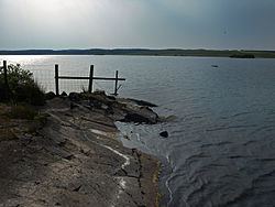
Castle Loch is a large, shallow, freshwater loch in Dumfries and Galloway, in the Southern Uplands of south-west Scotland. It lies to the west of Mochrum Loch and about 9 mi (14 km) west of the town of Wigtown. The loch has 2 islets.
Contents
Map of Castle Loch, Newton Stewart, UK
SurveyEdit
The loch was surveyed in 1903 by James Murray and later charted as part of Sir John Murray's Bathymetrical Survey of Fresh-Water Lochs of Scotland 1897-1909.
References
Castle Loch, Dumfries and Galloway Wikipedia(Text) CC BY-SA