
Demonym(s) Castelnovesi Local time Monday 8:32 AM Postal code 03040 | Elevation 310 m (1,020 ft) Area 10 km² | |
 | ||
Frazioni Casali, Terra, Valli-Sant'Antonio, Cisterna, Pimpinelli Weather 8°C, Wind N at 5 km/h, 89% Humidity | ||
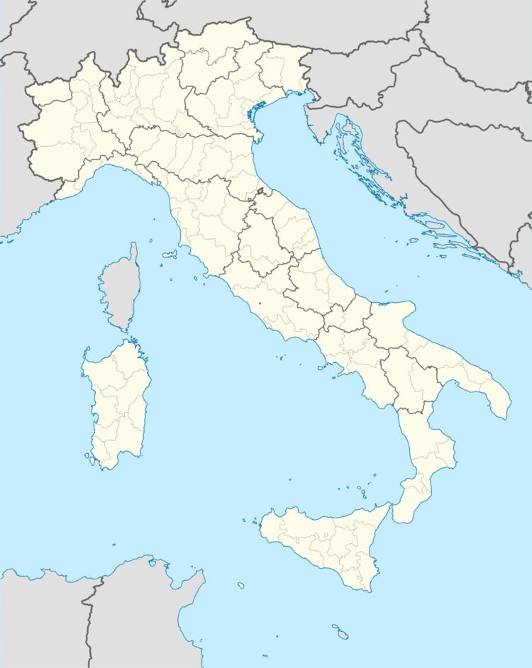
Castelnuovo Parano is a comune (municipality) in the province of Frosinone in the Italian region Lazio, located about 120 kilometres (75 miles) southeast of Rome and about 45 kilometres (28 mi) southeast of Frosinone.
Map of 03040 Castelnuovo Parano, Province of Frosinone, Italy
It originates from a castle built here in 1059 by abbot Desiderius of Montecassino to defend the area between Fratte and Traetto. The area was severely damaged during World War II due to its position across the Gustav Line. After the end of the conflict, much of the population emigrated.
References
Castelnuovo Parano Wikipedia(Text) CC BY-SA