
Municipality Castel de Cabra Elevation 1,088 m Local time Monday 7:32 AM | Area 29 km² Population 128 (2014) | |
 | ||
Weather 7°C, Wind W at 19 km/h, 83% Humidity | ||
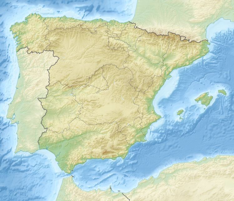
Castel de Cabra is a municipality in Cuencas Mineras, province of Teruel, Aragon, Spain. According to the 2010 census the Municipality has a population of 140 inhabitants. Its postal code is 44706.
Map of 44706 Castel de Cabra, Teruel, Spain
The town is located on the northern side of Sierra de San Just. Road N-211 crosses Castel de Cabra.
References
Castel de Cabra Wikipedia(Text) CC BY-SA