
Country United States FIPS code 19-11485 Elevation 380 m Zip code 52133 Local time Sunday 11:58 PM | Time zone Central (CST) (UTC-6) GNIS feature ID 0455206 Area 150 ha Population 172 (2013) Area code 563 | |
 | ||
Weather 12°C, Wind S at 24 km/h, 89% Humidity | ||
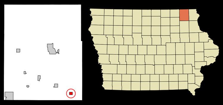
Castalia is a city in Winneshiek County, Iowa, United States. The population was 173 at the 2010 census.
Contents
Map of Castalia, IA 52133, USA
History
The railroad was built through Castalia in 1864. Castalia was incorporated in 1902.
Geography
Castalia is located at 43°6′44″N 91°40′38″W (43.112261, -91.677256).
According to the United States Census Bureau, the city has a total area of 0.58 square miles (1.50 km2), all of it land.
2010 census
As of the census of 2010, there were 173 people, 82 households, and 49 families residing in the city. The population density was 298.3 inhabitants per square mile (115.2/km2). There were 84 housing units at an average density of 144.8 per square mile (55.9/km2). The racial makeup of the city was 100.0% White. Hispanic or Latino of any race were 1.2% of the population.
There were 82 households of which 22.0% had children under the age of 18 living with them, 47.6% were married couples living together, 8.5% had a female householder with no husband present, 3.7% had a male householder with no wife present, and 40.2% were non-families. 35.4% of all households were made up of individuals and 18.3% had someone living alone who was 65 years of age or older. The average household size was 2.11 and the average family size was 2.71.
The median age in the city was 48.6 years. 20.8% of residents were under the age of 18; 4.6% were between the ages of 18 and 24; 19% were from 25 to 44; 35.2% were from 45 to 64; and 20.2% were 65 years of age or older. The gender makeup of the city was 49.1% male and 50.9% female.
2000 census
As of the census of 2000, there were 175 people, 79 households, and 48 families residing in the city. The population density was 243.0 people per square mile (93.8/km²). There were 81 housing units at an average density of 112.5 per square mile (43.4/km²). The racial makeup of the city was 95.43% White, 2.29% from other races, and 2.29% from two or more races. Hispanic or Latino of any race were 4.00% of the population.
There were 79 households out of which 24.1% had children under the age of 18 living with them, 49.4% were married couples living together, 7.6% had a female householder with no husband present, and 39.2% were non-families. 30.4% of all households were made up of individuals and 11.4% had someone living alone who was 65 years of age or older. The average household size was 2.22 and the average family size was 2.69.
In the city, the population was spread out with 19.4% under the age of 18, 9.1% from 18 to 24, 25.7% from 25 to 44, 31.4% from 45 to 64, and 14.3% who were 65 years of age or older. The median age was 40 years. For every 100 females there were 108.3 males. For every 100 females age 18 and over, there were 113.6 males.
The median income for a household in the city was $30,417, and the median income for a family was $25,833. Males had a median income of $28,750 versus $18,750 for females. The per capita income for the city was $17,228. About 21.7% of families and 15.4% of the population were below the poverty line, including 22.2% of those under the age of eighteen and none of those sixty five or over.