
GNIS feature ID 453166 Area 48.02 km² Population 714 (2010) | ZIP codes 47018, 47040 Elevation 253 m Local time Sunday 10:55 PM | |
 | ||
Weather 13°C, Wind SW at 13 km/h, 37% Humidity | ||
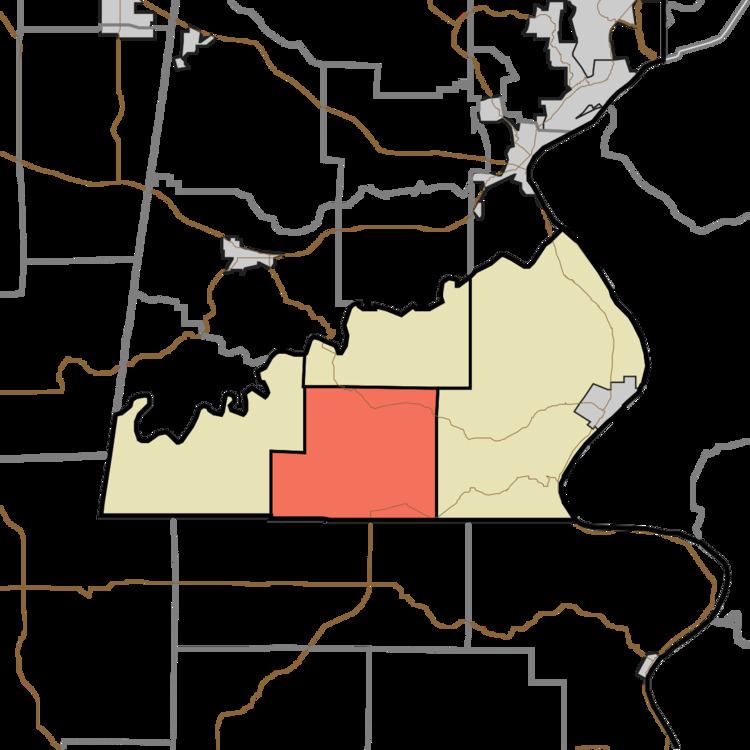
Cass Township is one of four townships in Ohio County, Indiana, United States. As of the 2010 census, its population was 714 and it contained 303 housing units.
Contents
- Map of Cass Township IN USA
- History
- Geography
- Unincorporated towns
- Cemeteries
- Major highways
- School districts
- Political districts
- References
Map of Cass Township, IN, USA
History
Cass Township was organized in 1845.
Geography
According to the 2010 census, the township has a total area of 18.54 square miles (48.0 km2), all land.
Unincorporated towns
(This list is based on USGS data and may include former settlements.)
Cemeteries
The township contains Downey Cemetery.
Major highways
School districts
Political districts
References
Cass Township, Ohio County, Indiana Wikipedia(Text) CC BY-SA