
Translation bawler (Aymara) Parent range Andes, Barroso Mountain type Volcano Elevation 5,650 m | Location Peru, Tacna Region Age of rock Unknown Volcanic arc/belt Central Volcanic Zone Mountain range Andes | |
 | ||
Similar El Negrillar, Auquihuato, Cochiquito Volcanic Group, Cerro Overo, Yucamane | ||
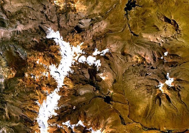
Casiri or Q'asiri (Aymara for bawler, Hispanicized spelling Casiri) is a mountainous complex in the Barroso mountain range in the Andes of Peru, about 5,650 metres (18,537 ft) high. It is located at the border of the Tacna Region, Tacna Province, Palca District and the Tarata Province, Tarata District.
Map of Q'asiri, Peru
The volcano has a height of 1,050 metres (3,440 ft), a diametre of 5 kilometres (3.1 mi) and a volume of 7 cubic kilometres (1.7 cu mi). Four centres are aligned on an east-west trending ridge, presumably formed through a shift in the conduit, with the youngest centre southeast of the ridge. This youngest centre has a summit crater, a western lava dome of possibly dacitic composition and two southbound lava flows showing signs of having been active after the ice ages. A sulfur mine Gloria is associated with the lava flows, and another is found on the northwest side of the volcano. There are no reports of historical activity. This volcano does not appear to be a threat.