
Founded June 13, 1609 Time zone PST (UTC+8) Local time Monday 10:36 AM | District Lone District Barangays Area 715.4 km² | |
 | ||
Weather 25°C, Wind SW at 3 km/h, 67% Humidity Points of interest Casapsapan Beach, Motiong Beach, Nini's Beach Resort Neighborhoods Bianoan, Nipoo, Esteves, Pasaruboy, Dinipan, Dibacong | ||
Casiguran, officially the Municipality of Casiguran (Filipino: Bayan ng Casiguran; Ilocano: Ili ti Casiguran), is a municipality in the province of Aurora in the Central Luzon (Region III) of the Philippines. The population was 24,313 at the 2015 census. In the 2016 electoral roll, it had 15,067 registered voters.
Contents
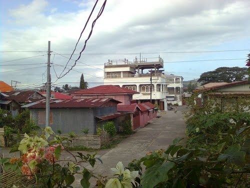
Map of Casiguran, Aurora, Philippines
The municipality is home to the Amro River Protected Landscape.
Etymology
According to folk legend, the name Casiguran was obtained from the Hispano-Filipino term Kasiguruhan which means "safety" or "assurance", such as a fortress or sanctuary for sailing ships during stormy weather. Another legend says that if an unmarried stranger comes to the place, he unavoidably falls in love and marries and most of the time stays for good.
History
Casiguran was founded by Spanish missionaries on 13 June 1609. Prior to their arrival, early settlers were the Dumagats and Aetas, followed by migrants from other parts of the Philippines. These migrants spoke different languages such as Ilocano, Visayan languages, Bikol languages, Kapampangan, Gaddang, Itawis and Ibanag, and from these a Kasiguranin dialect evolved.
In 1942, invading Japanese forces landed in the town of Casiguran. In 1945, Allied troops as well as Philippine Commonwealth forces and recognized guerrilla units during the Battle of Casiguran at the end of World War II. When the Philippines regained sovereignty in 1946, Aurora was still part of Tayabas Province (now Quezon Province) and Casiguran was a lone northern town. Its political jurisdiction is bounded on the north by the province of Isabela, on the west by Quirino, and on the south west by Barangay Dinadiawan, which was then the boundary between Baler and Casiguran.
In 1959 and 1966, the barrios of Dilasag and Dinalungan, which were part of Casiguran and situated on its northern and south-western portions, were made into municipalities.
Geography
Casiguran is located at 16°17′N 122°07′E.
According to the Philippine Statistics Authority, the municipality has a land area of 715.43 square kilometres (276.23 sq mi) constituting 7001227300000000000♠22.73% of the 3,147.32-square-kilometre- (1,215.19 sq mi) total area of Aurora.
Casiguran is located 121 kilometres (75 mi) north-east of Baler, the provincial capital. It is bounded on the north-east by Dilasag, south-west by Dinalungan, north-west by Quirino and southeast by the Philippine Sea.
Barangays
Casiguran is politically subdivided into 24 barangays.
Demographics
In the 2015 census, Casiguran had a population of 24,313. The population density was 34 inhabitants per square kilometre (88/sq mi).
In the 2016 electoral roll, it had 15,067 registered voters.
In 1960, the population of Casiguran was 6,900. This was almost doubled by the 1970s when population was 12,128, an increase of about 76% (5.8% annual average growth rate). Between 1970 and 1975, there was a marked decreased in the number of population from 12,128 to 11,670. This reduction was due to deteriorated peace and order, which forced some of the population to move away. The trend reversed by 1980, with an increase of 19% or an annual average growth rate increase of 3.86%. Increasing population continued during the succeeding censal years (1980 to 1995) but with a declining annual average population growth rate. This is attributed to the gradual stoppage of logging operations in the area. Many workers involved in this trade were not original residents, so when the jobs were no longer available, they left. Between 1995 and 1999 there was a significant increase of the annual average population growth rate to 4.36%.
Economy
Casiguran is home to the Aurora Pacific Economic Zone and Freeport Authority or APECO, a special economic zone. Created in 2007 by virtue of Republic Act No. 9490 thru the efforts of Sen. Edgardo Angara and Rep. Juan Edgardo Angara, it is expected be a major transhipment hub going to the pacific region. It aims to boost social, economic and industrial developments in Aurora and nearby provinces by generating jobs for the people, improving the quality of their living conditions, advocating an eco-friendly approach to industrialization and enhancing the potential of the community in productivity.