
Area 15.3 km² Local time Monday 3:31 PM | Population 6,876 (2006) | |
 | ||
Weather 19°C, Wind E at 18 km/h, 49% Humidity Points of interest | ||
The suburb of Cashmere rises above the southern end of the city of Christchurch in New Zealand’s South Island.
Contents
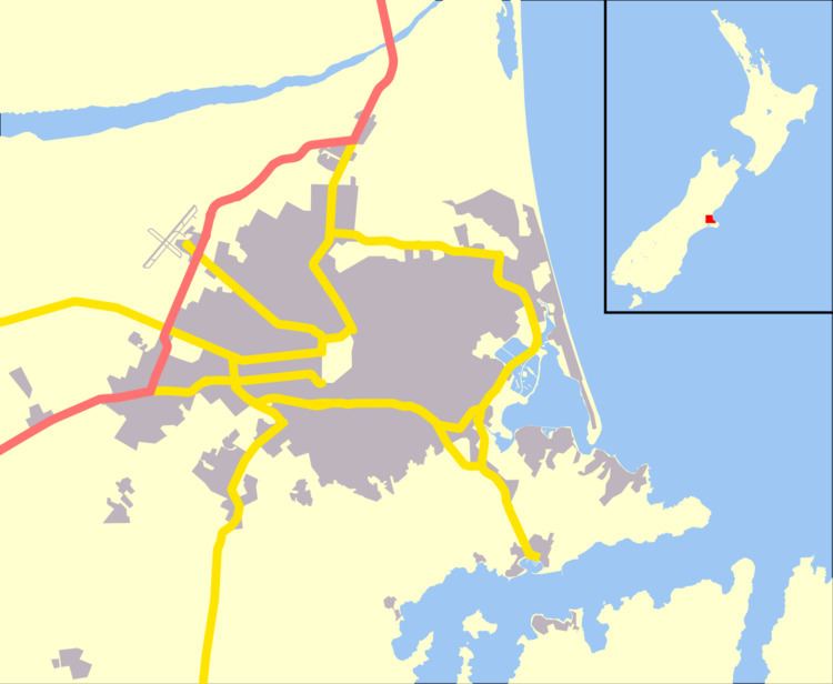
- Map of Cashmere Christchurch New Zealand
- Geography
- History
- Buildings and infrastructure
- Notable residents
- References
Map of Cashmere, Christchurch, New Zealand
Geography
Cashmere is situated on the north side of the Port Hills, immediately above the southern terminus of Christchurch’s main street, Colombo Street. Five kilometres south of the city centre, a commanding view of the city can be had from Victoria Park, at the upper end of the suburb. Above Victoria Park is Sugarloaf, a 496 m peak, which is the location of the 119 m transmission tower for local radio and TV stations.
History
Cashmere takes its name from Sir John Cracroft Wilson's farm, which originally occupied the present suburb. Wilson was born in India and named his farm after Kashmir (Cashmere is an early British spelling of Kashmir). The house Wilson built for his Indian workers is today a function centre known as The Old Stone House (currently under repair after the Canterbury earthquakes).
Cashmere has a reputation as one of the country's more well-to-do and refined suburbs, and the 2006 census revealed there was generally a higher income concentration in the suburb.
Buildings and infrastructure
Two of Harry Ell's rest houses, the Sign of the Takahe and the Sign of the Kiwi, are located in Cashmere. Both are Category I heritage buildings. Dame Ngaio Marsh's former house in Valley Road is a museum run in her memory. It is registered by Heritage New Zealand as a Category I heritage item.
Schools include Cashmere Primary, Thorrington Primary and Cashmere High School. Princess Margaret Hospital, built in 1959, was once thought to become the main hospital of Christchurch, but it was too far from the central city.
The Cashmere Club is home to many local sports groups including rugby, soccer, bowls, badminton, darts, squash and small bore rifle shooting. The Canterbury Ring Laser facility is located in the Cracroft Caverns, an underground bunker complex built during World War II. Christchurch Adventure Park is a mountain bike park that opened in December 2016.