
Country United States FIPS code 29-11728 Elevation 281 m Zip code 64836 Population 268 (2013) | Time zone Central (CST) (UTC-6) GNIS feature ID 0740725 Area 37.45 km² Local time Sunday 4:44 PM Area code 417 | |
 | ||
Weather 14°C, Wind S at 32 km/h, 78% Humidity | ||
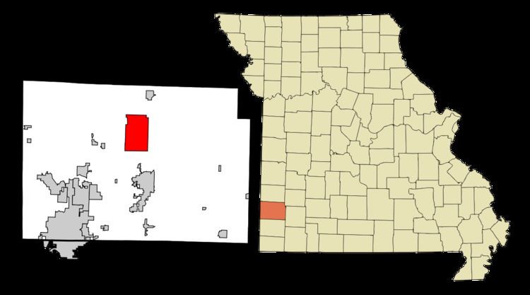
Carytown is a village in Jasper County, Missouri, United States. The population was 271 at the 2010 census. It is part of the Joplin, Missouri Metropolitan Statistical Area.
Contents
Map of Carytown, MO 64836, USA
History
A post office called Carytown was established in 1885, and remained in operation until 1901. The community has the name of the Cary family, original owners of the site.
Geography
Carytown is located at 37°15′49″N 94°20′3″W (37.263692, -94.334047).
According to the United States Census Bureau, the city has a total area of 14.46 square miles (37.45 km2), all of it land.
2010 census
As of the census of 2010, there were 271 people, 99 households, and 81 families residing in the city. The population density was 18.7 inhabitants per square mile (7.2/km2). There were 109 housing units at an average density of 7.5 per square mile (2.9/km2). The racial makeup of the city was 95.6% White, 3.7% from other races, and 0.7% from two or more races. Hispanic or Latino of any race were 5.5% of the population.
There were 99 households of which 33.3% had children under the age of 18 living with them, 73.7% were married couples living together, 3.0% had a female householder with no husband present, 5.1% had a male householder with no wife present, and 18.2% were non-families. 16.2% of all households were made up of individuals and 7% had someone living alone who was 65 years of age or older. The average household size was 2.74 and the average family size was 3.04.
The median age in the city was 40.9 years. 26.2% of residents were under the age of 18; 4.1% were between the ages of 18 and 24; 22.6% were from 25 to 44; 32.1% were from 45 to 64; and 15.1% were 65 years of age or older. The gender makeup of the city was 53.9% male and 46.1% female.
2000 census
As of the census of 2000, there were 217 people, 85 households, and 69 families residing in the city. The population density was 15.1 people per square mile (5.8/km²). There were 94 housing units at an average density of 6.5 per square mile (2.5/km²). The racial makeup of the city was 95.39% White, 1.38% Native American, and 3.23% from two or more races. Hispanic or Latino of any race were 1.38% of the population.
There were 85 households out of which 27.1% had children under the age of 18 living with them, 71.8% were married couples living together, 4.7% had a female householder with no husband present, and 18.8% were non-families. 16.5% of all households were made up of individuals and 7.1% had someone living alone who was 65 years of age or older. The average household size was 2.55 and the average family size was 2.80.
In the city the population was spread out with 17.1% under the age of 18, 10.6% from 18 to 24, 29.5% from 25 to 44, 30.4% from 45 to 64, and 12.4% who were 65 years of age or older. The median age was 41 years. For every 100 females there were 114.9 males. For every 100 females age 18 and over, there were 109.3 males.
The median income for a household in the city was $27,292, and the median income for a family was $30,000. Males had a median income of $23,125 versus $20,313 for females. The per capita income for the city was $13,852. About 7.4% of families and 7.8% of the population were below the poverty line, including 14.3% of those under the age of eighteen and 17.9% of those sixty five or over.