
Time zone CST (UTC-6) Elevation 196 m Zip code 62321 Population 3,052 (2010) | Established November 6, 1849 GNIS feature ID 0428770 Area 104.4 km² Local time Sunday 3:02 PM | |
 | ||
Weather 18°C, Wind S at 27 km/h, 50% Humidity Points of interest Carthage Jail, Kibbe Hancock Heritage, Lake Hill Winery | ||
Carthage Township is one of twenty-five townships in Hancock County, Illinois, USA. As of the 2010 census, its population was 3,052 and it contained 1,507 housing units.
Contents
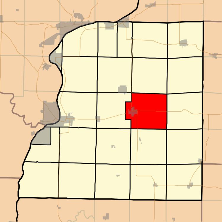
- Map of Carthage Township IL 62321 USA
- Geography
- Cities towns villages
- Unincorporated towns
- Cemeteries
- Major highways
- Airports and landing strips
- Landmarks
- School districts
- Political districts
- References
Map of Carthage Township, IL 62321, USA
Geography
According to the 2010 census, the township has a total area of 40.3 square miles (104 km2), of which 40.21 square miles (104.1 km2) (or 99.78%) is land and 0.08 square miles (0.21 km2) (or 0.20%) is water.
Cities, towns, villages
Unincorporated towns
(This list is based on USGS data and may include former settlements.)
Cemeteries
The township contains these seven cemeteries: Barnes, County Farm, Franklin, Moss Ridge, Old Brick, Old Carthage and Woodring.
Major highways
Airports and landing strips
Landmarks
School districts
Political districts
References
Carthage Township, Hancock County, Illinois Wikipedia(Text) CC BY-SA