
Local time Sunday 3:49 PM | ||
 | ||
Weather 8°C, Wind S at 0 km/h, 29% Humidity | ||
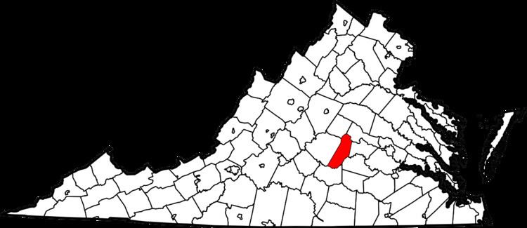
In the American state of Virginia, Cartersville is an unincorporated community in Cumberland County.
Contents
Map of Cartersville, VA 23027, USA
Cartersville formed around the James River and Kanawha Canal. An 1855 gazetteer described it as having "1 church, several stores, and about 50 dwellings."
A number of properties on the National Register of Historic Places are located in and around Cartersville; among these are the plantation house Ampthill, the Cartersville Bridge, Hamilton High School, and Morven, as well as the Cartersville Historic District.
Climate
Climate is characterized by relatively high temperatures and evenly distributed precipitation throughout the year. The Köppen Climate Classification subtype for this climate is "Cfa" (Humid Subtropical Climate).
References
Cartersville, Cumberland County, Virginia Wikipedia(Text) CC BY-SA