
Country United States County Hendricks ZIP code 46168 Elevation 237 m | State Indiana FIPS code 18-10594 Local time Sunday 3:49 PM | |
 | ||
Weather 19°C, Wind S at 32 km/h, 26% Humidity | ||
Cartersburg is an unincorporated community in Liberty Township, Hendricks County, Indiana.
Contents
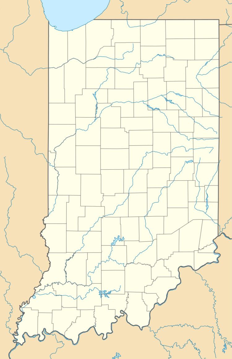
Map of Cartersburg, IN 46168, USA
History
Cartersburg had its start in the year 1850 by the building of the railroad through that territory. It was named for its founder, John Carter. Cartersburg contained a post office from 1852 until 1992.
Geography
Cartersburg is located at 39°41′55″N 86°27′49″W, between Clayton and Plainfield. It has a community church and has Clayton Fire Rescue. Cartersburg also has a small children's playground.
The Cartersburg Springs (also known as the Magnetic Springs) were located near the town; however, water no longer flows at the site.
References
Cartersburg, Indiana Wikipedia(Text) CC BY-SA