
Country United States Elevation 225 m Local time Sunday 12:49 PM | GNIS feature ID 0766405 Area 92.17 km² Population 4,355 (2000) | |
 | ||
Weather 16°C, Wind S at 26 km/h, 70% Humidity | ||
Carrollton Township is one of twenty townships in Carroll County, Missouri, USA. As of the 2000 census, its population was 4,355.
Contents
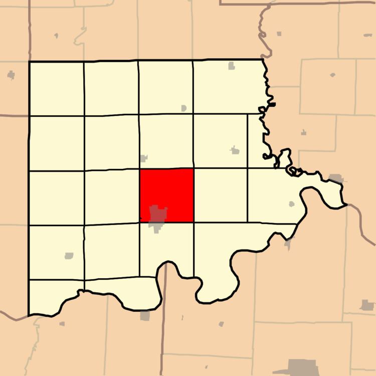
Map of Carrollton Township, MO, USA
Carrollton Township was established in 1872, and named after the community of Carrollton.
Geography
Carrollton Township covers an area of 35.59 square miles (92.2 km2) and contains one incorporated settlement, Carrollton (the county seat). According to the USGS, it contains three cemeteries: Mount Zion, Saint Marys and Willis Chapel.
The stream of Cottonwood Branch runs through this township.
References
Carrollton Township, Carroll County, Missouri Wikipedia(Text) CC BY-SA