
Country United States GNIS feature ID 57516 Zip code 72611 Area code 870 | Time zone Central (CST) (UTC-6) Area 26 ha Local time Sunday 12:50 PM | |
 | ||
Weather 14°C, Wind S at 29 km/h, 72% Humidity | ||
Mmmf memorial wagon train carrollton arkansas
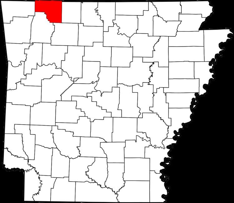
Carrollton is an unincorporated community in Carroll County, Arkansas, United States. Once a thriving community with a population near the 10,000 mark in the 1850s, there are generally 30 residents now in the unincorporated community with a historically significant past.
Contents
- Mmmf memorial wagon train carrollton arkansas
- Map of Carrollton AR 72611 USA
- Geography
- Only Highway
- History
- References
Map of Carrollton, AR 72611, USA
Geography
Carrollton is located at 36°15′45.25″N 93°19′18.66″W (36.2625706, -93.3218492).
Only Highway
History
Carrollton was settled c. 1840. Carrollton was named for Charles Carroll, signer of the Declaration of Independence. By the time of the American Civil War in 1860, Carrollton had grown to a population of 6,000. The town supported 6 hotels and 3 livery stables.
In the center of the town was a basin fed by a 3/4-mile-long flume built from cedar which was fed from a stream higher up a neighboring mountain.
A Civil War skirmish was fought there, and a historic marker now marks the site.
It was the county seat of Carroll County before the area was split into two counties, Carroll and Boone. The new county seat of Carroll County was split between Berryville and Eureka Springs. Wilson Springs (now Harrison) became the seat of county government for Boone County. Records for both counties were stored in Carrollton. Rather than wait for the records to be separated, a group of men from Wilson Springs came in the dead of night in the mid-1870s, breaking into and carting off the county records.
Today, little remains of the original town.