
Time zone PST (UTC−8) Area code(s) 360 Local time Sunday 10:46 AM | ZIP code 98626 Elevation 21 m | |
 | ||
Weather 5°C, Wind SE at 31 km/h, 76% Humidity | ||
Carrolls is an unincorporated community in Cowlitz County, Washington, south of the city of Kelso. Carrolls is located south on Old Pacific Highway from exit 36 of Interstate 5. The Carrolls community is part of the Kelso School District, a K-12 school district of nearly 5,000 students.
Contents
Map of Carrolls, WA 98626, USA
The community derives its name one Major Carroll, a pioneer resident.
Geography
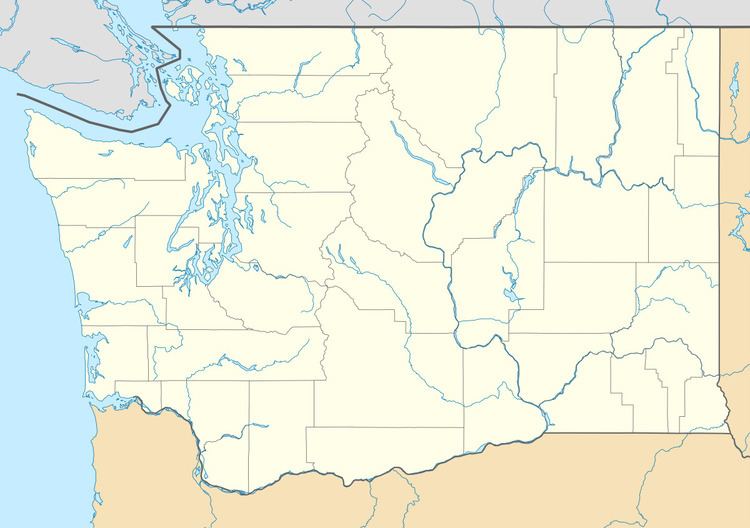
Carrolls is located at 46°04′17″N 122°51′44″W (46.0715022, -122.8623306).
References
Carrolls, Washington Wikipedia(Text) CC BY-SA