
Established 1912 Founded 1912 Postal code 6423 | Postcode(s) 6423 Elevation 359 m Local time Sunday 4:56 AM | |
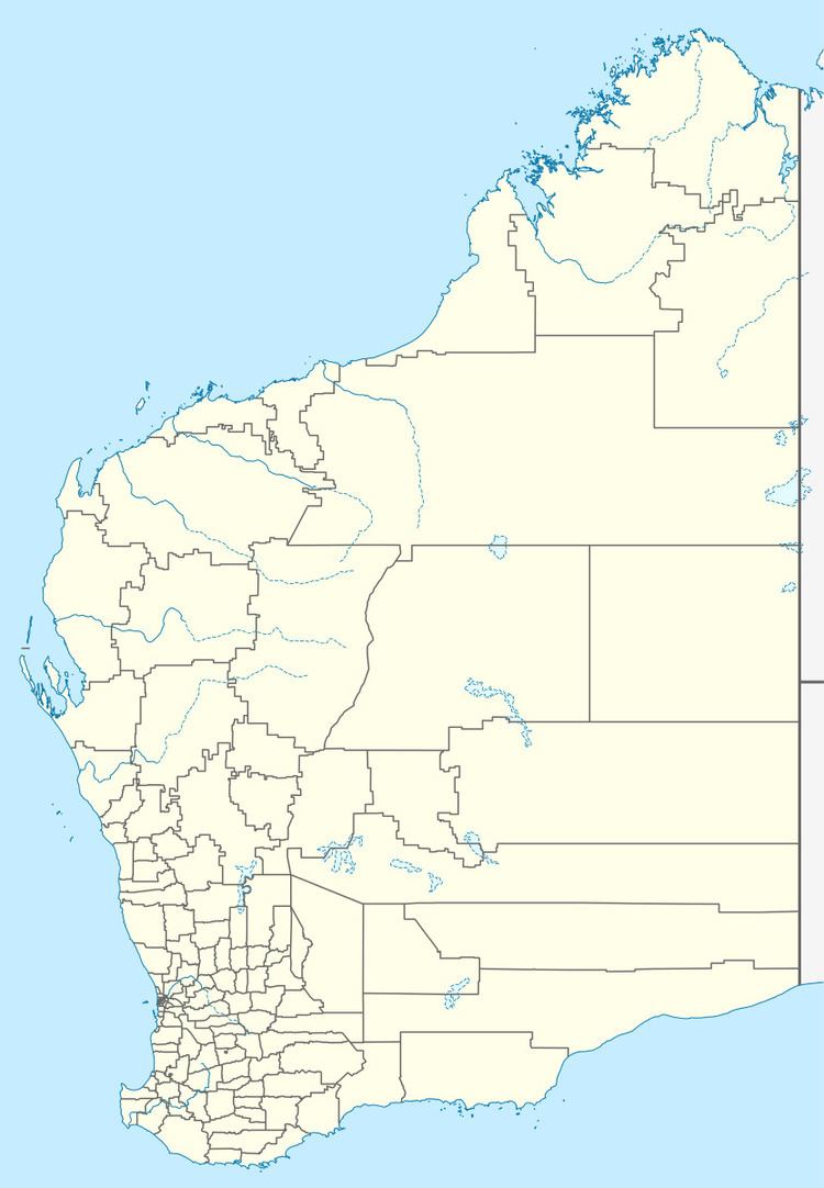 | ||
Location 299 km (186 mi) ENE of Perth43 km (27 mi) ENE of Merredin | ||
Carrabin is a small town located about 43 kilometres (27 mi) east-north-east of Merredin, on the railway line between Merredin and Southern Cross in Western Australia.
Contents
Map of Carrabin WA 6423, Australia
The town was gazetted in 1912, and took its name from the already existing railway siding located adjacent to the townsite. It is an Aboriginal name of unknown meaning.
In 1932 the Wheat Pool of Western Australia announced that the town would have two grain elevators, each fitted with an engine, installed at the railway siding.
It also is the site of an agricultural research station.
Rail services
The Prospector service, which runs each way between East Perth and Kalgoorlie once or twice each day, stops at Carrabin.
References
Carrabin, Western Australia Wikipedia(Text) CC BY-SA