
Time zone MST (UTC-7) Zip code 80612 | Established 1872 Elevation 1,741 m Local time Saturday 1:54 PM | |
 | ||
Weather 18°C, Wind SW at 19 km/h, 9% Humidity | ||
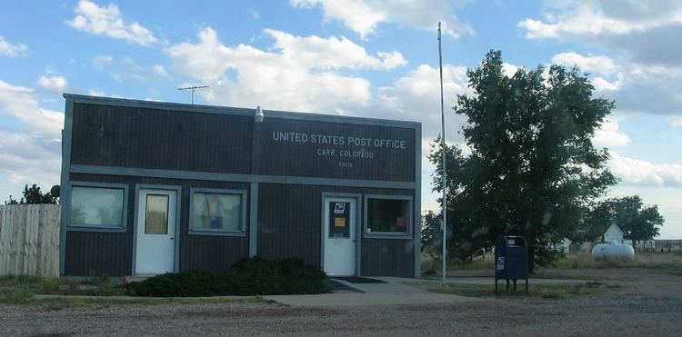
Carr is an unincorporated community and U.S. Post Office in Weld County, Colorado, United States. The ZIP Code of the Carr Post Office is 80612. Some consider Carr a ghost town.
Contents
Map of Carr, CO 80612, USA
History
The town of Carr was established by the Union Pacific Railroad in 1872. Carr was named for Robert E. Carr of the Union Pacific, who managed the construction of the rail line through the town. The Carr Post Office opened on March 26, 1872. From 1920 until 1939, the town carried Old Colorado State Highway 5, Which was meant as an access route. However, during this time, routes numbered 1-19 were major cross state highways, making it a some-what useless route.
Geography
Carr is located at 40°53′47″N 104°52′32″W (40.896257,-104.875488).
References
Carr, Colorado Wikipedia(Text) CC BY-SA