Demonym(s) Carpanetesi Area 63.2 km² | Elevation 400 m (1,300 ft) Time zone CET (UTC+1) Local time Saturday 8:40 PM Postal code 29013 Dialling code 0523 | |
 | ||
Frazioni Zena, Celleri, Ciriano, Chero, Cimafava, Viustino, Travazzano, Badagnano, Rezzano, Magnano, Montanaro Weather 11°C, Wind S at 19 km/h, 67% Humidity | ||
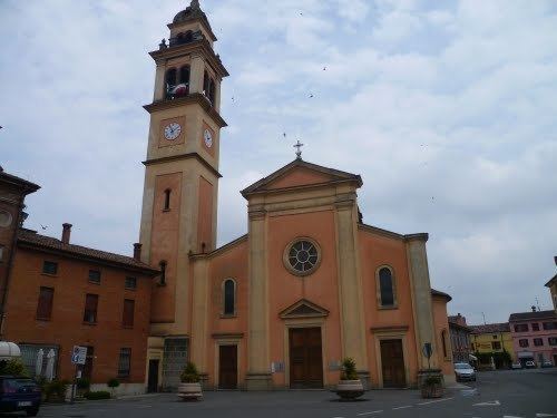
Carpaneto Piacentino is a comune (municipality) in the Province of Piacenza in the Italian region of Emilia-Romagna, located about 130 kilometres (81 mi) northwest of Bologna and about 15 kilometres (9 mi) southeast of Piacenza. As of 31 December 2011, it had a population of 7,542 and an area of 63.2 square kilometres (24.4 sq mi).
Map of 29013 Carpaneto Piacentino Province of Piacenza, Italy
The municipality of Carpaneto Piacentino contains the frazioni (subdivisions, mainly villages and hamlets) Zena, Celleri, Ciriano, Chero, Cimafava, Viustino, Travazzano, Badagnano, Rezzano, Magnano, and Montanaro.
Badagnano Castle and Olmeto Castle are located in frazione of Badagnano.[1]
Carpaneto Piacentino borders the following municipalities: Cadeo, Castell'Arquato, Fiorenzuola d'Arda, Gropparello, Lugagnano Val d'Arda, Pontenure, San Giorgio Piacentino.
