Country United States County Emmet Time zone Eastern (EST) (UTC-5) Elevation 221 m Population 357 (2010) Area code 231 | Township Carp Lake FIPS code 26-13480 Zip code 49718 Local time Saturday 2:35 PM | |
 | ||
Weather -6°C, Wind E at 16 km/h, 59% Humidity Area 12.17 km² (5.18 km² Land / 6.993 km² Water) | ||
Carp Lake is an unincorporated community and census-designated place (CDP) in Emmet County, Michigan, United States. As of the 2010 census it had a population of 357.
Contents
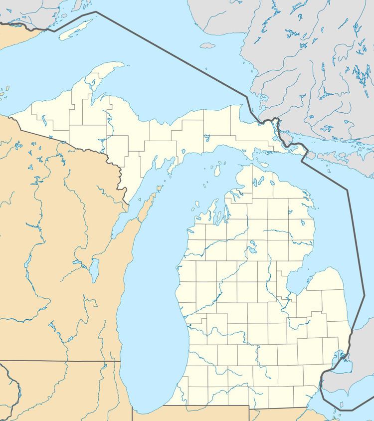
Map of Carp Lake, MI, USA
It was founded by Octave Terrian and later became a station on the Grand Rapids and Indiana Railroad in 1880.
Geography
Carp Lake is located in northeastern Emmet County, surrounding Lake Paradise, historically known as "Carp Lake". The community is in the eastern part of Carp Lake Township. U.S. Highway 31 (US 31) passes through the west side of the CDP, leading northeast 3.5 miles (5.6 km) to Interstate 75 and 7 miles (11 km) to Mackinaw City, and south 10 miles (16 km) to Pellston. Petoskey, the Emmet County seat, is 28 miles (45 km) south on US 31.
According to the U.S. Census Bureau, the Carp Lake CDP has a total area of 4.7 square miles (12.3 km2), of which 2.0 square miles (5.3 km2) is land and 2.7 square miles (7.0 km2), or 56.90%, is water.
