
LGA(s) Liverpool Plains Shire | Local time Sunday 6:23 AM | |
 | ||
Weather 18°C, Wind S at 11 km/h, 92% Humidity | ||
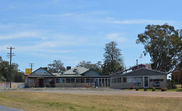
Caroona is a small village in Liverpool Plains Shire, New South Wales, Australia.
Map of Caroona NSW 2343, Australia
Caroona is located on the Quirindi-Coonabarabran road, about 20 kilometres WNW of Quirindi. There are also road links to Werris Creek and Pine Ridge. Caroona is located in the prime Liverpool Plains agricultural region.
Caroona formerly had a station on the Binnaway – Werris Creek railway line and has a grain storage and loading facility. Caroona is located near the Mooki River.
The village of Walhallow is located about 2 kilometres north of Caroona, although it is across the local government area boundary, in Gunnedah Shire. Walhallow is the site of a former aboriginal reserve and mission, and was formerly called "Caroona Mission".
References
Caroona, New South Wales Wikipedia(Text) CC BY-SA