
Quadrant NW Sector North Elevation 686 m | Ward 2 Area 120 ha Population 2,737 (2012) | |
 | ||
Carlton is a residential neighbourhood in the Palisades area of north west Edmonton, Alberta, Canada.
Contents
Map of Carlton, Edmonton, AB, Canada
According to the 2005 municipal census, the most common type of dwelling in the neighbourhood is the single-family dwelling. These account for roughly nine out of ten (88%) of all residences in the neighbourhood. The remaining one out of ten (12%) or residences are duplexes. Virtually all (97%) the residences are owner-occupied.
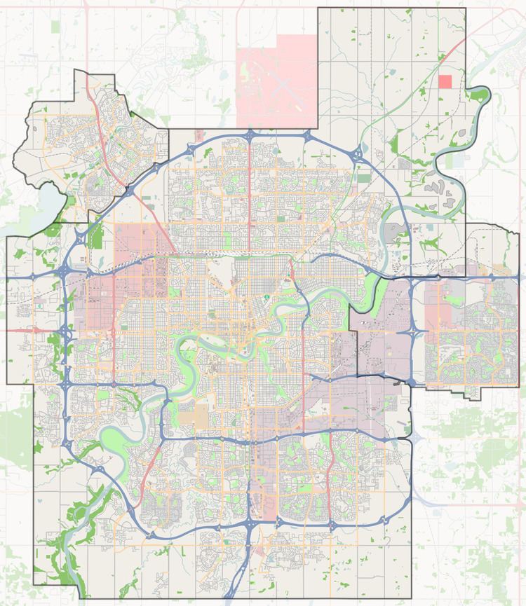
The neighbourhood is bounded on the west by 142 Street, on the north by 167 Avenue, and on the south by 153 Avenue. The boundary on the east is half a block west of 134 Street.
Demographics
In the City of Edmonton's 2012 municipal census, Carlton had a population of 7003273700000000000♠2,737 living in 7003138600000000000♠1,386 dwellings, a 29.3% change from its 2009 population of 7003211700000000000♠2,117. With a land area of 1.2 km2 (0.46 sq mi), it had a population density of 7003228080000000000♠2,280.8 people/km2 in 2012.