
Country Canada Established 1831 Time zone AST (UTC-4) Population 27,019 (2011) | Area 3,313 km² Local time Friday 6:47 AM | |
 | ||
Weather -15°C, Wind W at 18 km/h, 68% Humidity University New Brunswick Bible Institute | ||
Carleton County (2011 population 27,019) is located in west-central New Brunswick, Canada.
Contents
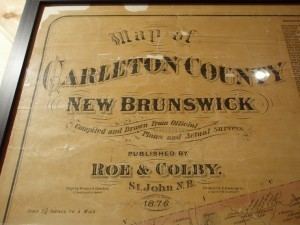
- Map of Carleton County NB Canada
- Major Highways
- Communities
- First Nations
- Parishes
- Access Routes
- References
Map of Carleton County, NB, Canada
The western border is Aroostook County, Maine, the northern border is Victoria County, and the southeastern border is York County from which it was formed in 1831. The Saint John River bisects the western section of the county. The Southwest Miramichi River flows through the eastern section of the county. Potato farming is a major industry. The scenic town of Hartland is home to the longest covered bridge in the world.
Major Highways
Communities
There are five incorporated municipalities within Carleton County (listed by 2011 population):
First Nations
There is one First Nations reserve in Carleton County (listed by 2011 population):
Parishes
The county is subdivided into eleven parishes (listed by 2011 population):
Access Routes
Highways and numbered routes that run through the county, including external routes that start or finish at the county limits: