
Country United States County Ottawa Area code(s) 539/918 Elevation 247 m Zip code 74335 Population 143 (2009) | Time zone Central (CST) (UTC-6) FIPS code 40-11900 Area 26 ha Local time Thursday 7:27 PM | |
 | ||
Weather 11°C, Wind N at 10 km/h, 34% Humidity | ||
Abandoned town urbex picher cardin oklahoma treece kansas
Cardin is a ghost town in Ottawa County, Oklahoma, United States. The population was 150 at the 2000 census, but plummeted to 3 at the 2010 census in April 2010. The town is located within the Tar Creek Superfund site; the vast majority of its residents accepted federal buyout offers, and the town's population dropped to zero in November 2010.
Contents
- Abandoned town urbex picher cardin oklahoma treece kansas
- Map of Cardin OK USA
- Early history
- Buyout and shutdown
- Geography
- Demographics
- Notable people
- References
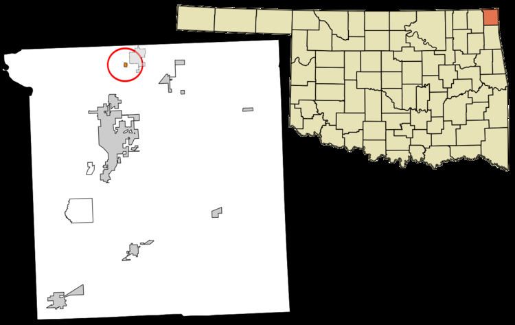
Map of Cardin, OK, USA
Early history
The town of Cardin was originally known as Tar Creek, when it was founded as a mining town in 1913. In 1918, William Oscar Cardin, a member of the Quapaw tribe, and his wife, Isa Wade Cardin, had his 40-acre allotment platted and recorded with the county clerk. The town name changed from Tar Creek to Cardin in 1920. There were 2,640 residents in 1920.
Buyout and shutdown
The town, along with Picher, and Hockerville, is located within the Tar Creek Superfund site. These towns are part of a $60 million federal buyout because of lead pollution, as well as risk of buildings caving in due to decades of mining. Cardin, Oklahoma, officially closed its last business, the post office, on February 28, 2009. In April 2009, federal officials stated that only seven residences were occupied in Cardin, and that the town's water service would soon be shut off. This made Cardin the first city within the area to be completely closed down. In November 2010, the last family in Cardin received its final buyout payment from the federally funded Lead-Impacted Communities Relocation Assistance Trust and departed, reducing the town's population to zero.
Geography
Cardin is located at 36°58′32″N 94°51′6″W (36.975692, -94.851612). According to the United States Census Bureau, the town has a total area of 0.1 square miles (0.26 km2), all of it land.
Demographics
At the 2000 census, there were 150 people, 58 households and 44 families residing in the town. The population density was 1,665.7 per square mile (643.5/km²). There were 66 housing units at an average density of 732.9 per square mile (283.1/km²). The racial makeup of the town was 83.33% White, 6.00% Native American, and 10.67% from two or more races.
There were 58 households of which 29.3% had children under the age of 18 living with them, 60.3% were married couples living together, 13.8% had a female householder with no husband present, and 24.1% were non-families. 20.7% of all households were made up of individuals and 12.1% had someone living alone who was 65 years of age or older. The average household size was 2.59 and the average family size was 3.00.
22.7% of the population were under the age of 18, 9.3% from 18 to 24, 26.0% from 25 to 44, 21.3% from 45 to 64, and 20.7% who were 65 years of age or older. The median age was 38 years. For every 100 females there were 108.3 males. For every 100 females age 18 and over, there were 96.6 males.
The median household income was $24,000 and the median family income was $25,417. Males had a median income of $23,125 compared with $13,750 for females. The per capita income for the town was $9,570. There were 22.0% of families and 31.0% of the population living below the poverty line, including 57.1% of under eighteens and none of those over 64.