
Country Canada Census division 5 Time zone MST (UTC-7) Area 200 ha Local time Thursday 4:30 PM | Postal code span T0M 0L0 Population 454 (2016) Province Alberta | |
 | ||
Weather 2°C, Wind S at 16 km/h, 69% Humidity | ||
Carbon is a village in central Alberta, Canada.
Contents
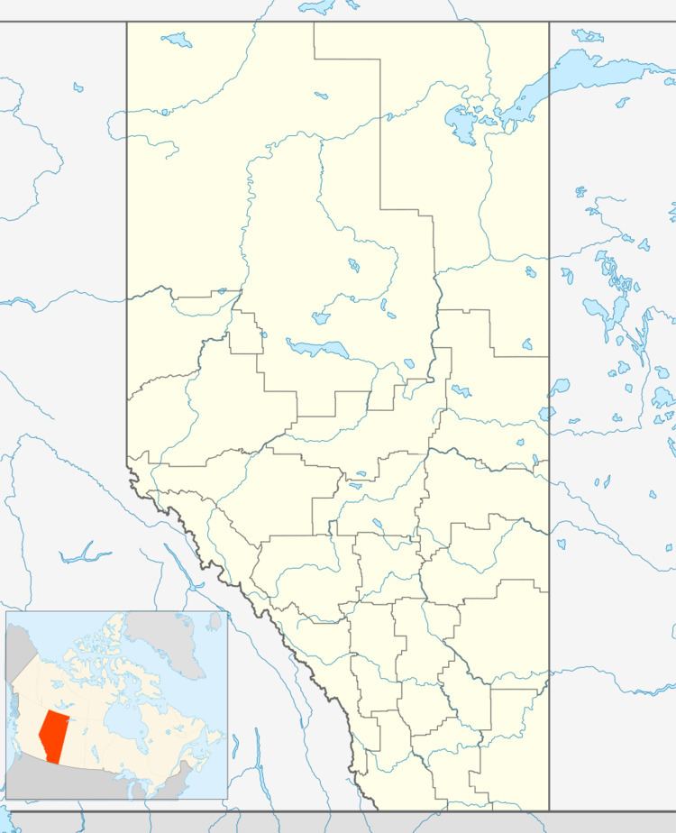
Map of Carbon, AB, Canada
It is located in Kneehill County, 41 kilometres (25 mi) west of Drumheller and 120 kilometres (75 mi) northeast of Calgary, along Highway 836, 7 kilometres (4.3 mi) each of Highway 21 on Highway 575. Built at the beginning of the 20th century in the Kneehill Creek Valley, Carbon is a picturesque village with paved, quiet streets lined with trees.
History
The Carbon district has a very colorful and interesting history. Ranching, farming and coal mining were the major activities of the early settlers. The name Carbon was suggested by L.D. Elliot, an area rancher, and was adopted for the new post office opened on October 1, 1904. The village was incorporated in 1912.
Carbon had a railroad running through it which has since been removed. This railroad is on the south side of the Kneehill Creek. On both sides of the village (west/east) you can still see this railroad flying over (2016). This railroad was operated by CP rail. Glenbow museum in Calgary has photos of this railroad under construction on file. This railroad was primarily used to support the coal mining in the area.
Demographics
In the 2016 Census of Population conducted by Statistics Canada, the Village of Carbon recorded a population of 454 living in 199 of its 222 total private dwellings, a 2998767000000000000♠−23.3% change from its 2011 population of 592. With a land area of 1.99 km2 (0.77 sq mi), it had a population density of 228.1/km2 (590.9/sq mi) in 2016.
In the 2011 Census, the Village of Carbon had a population of 592 living in 208 of its 226 total dwellings, a 3.9% change from its 2006 population of 570. With a land area of 2 km2 (0.77 sq mi), it had a population density of 296.0/km2 (766.6/sq mi) in 2011.
In 2006, Carbon had a population of 570 living in 228 dwellings, a 7.5% increase from 2001. The village had an area of 2.00 km2 (0.77 sq mi) and a population density of 284.7 inhabitants per square kilometre.
Facilities and amenities
The village also features a K-12 school, swimming pool, museum and art gallery, curling rink, and two campgrounds. Maintained walking paths are also available year-round, following the creek through the valley.