
OS grid reference SW999595 Post town ST. AUSTELL Dialling code 01726 | Sovereign state United Kingdom Postcode district PL26 | |
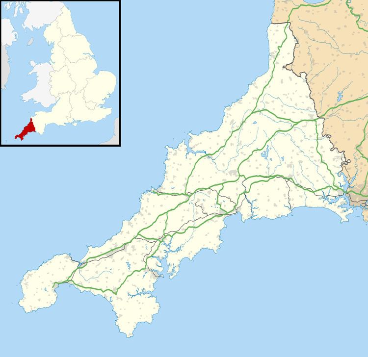 | ||
Carbis is a hamlet 0.9 miles (1.4 km) east of Roche (where the 2011 census population was included) in Cornwall, England. Carbis lies at about 495 feet (151 m) above sea level.
Rosemellyn China Clay works lies 0.4 miles (0.64 km) north-east of Carbis. In the 19th century the mining of china clay was an important industry around St Austell indeed the area has the nick-name of the "china clay country". The Rosemellyn China Clay company went into liquidation in 1918. A short railway branch line (now dismantled) ran from Carbis Wharf to the sidings at nearby Bugle as part of the Cornwall Minerals Railway.
The carbis bay crew explore south terras uranium mine
References
Carbis Wikipedia(Text) CC BY-SA