Rahul Sharma (Editor)

Cappy, Somme

Updated on
Edit
Like
Comment
Share on FacebookTweet on TwitterShare on LinkedInShare on Reddit
Country
  
France

Department
  
Somme

Intercommunality
  
Pays du Coquelicot

Area
  
11.91 km²

Arrondissement
  
Péronne

Region
  
Hauts-de-France

Canton
  
Bray-sur-Somme

Population (2006)
  
538

Local time
  
Wednesday 11:50 PM

Cappy, Somme

Weather
  
12°C, Wind W at 18 km/h, 100% Humidity

Cappy is a commune in the Somme department in Hauts-de-France in northern France.

Contents

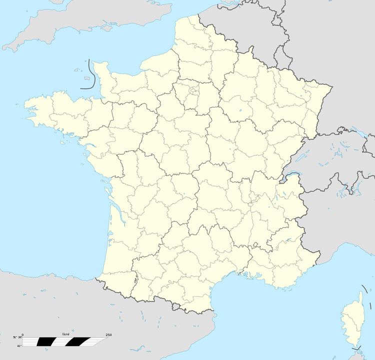
Map of 80340 Cappy, France

Geography

Cappy is situated on the D1 road, some 20 miles (32 km) east of Amiens, by the banks of the river Somme.

History

  • Two Roman villas have been found within the boundaries of the commune.
  • Known as "Capiacum" in 887, from the earlier name "Caput Loci" which suggests a fortress was built to defend the passage of the Somme.
  • In the 10th century, the village had a priory. Robert I of Péronne was the seigneur.
  • In 1260, Cappy was one of 25 Picardie towns to receive its charter from Louis IX.
  • In 1373, The priory, the village and the château were destroyed by the Earl of Warwick.
  • The village was also pillaged during the wars with Spain.
  • Monuments

  • Saint-Nicolas church, built in the lower village. The tower dates from 1654. Partially rebuilt in 1920, after the battles of 1916.
  • The railway museum 'Chemin de fer Froissy-Dompierre'.
  • References

    Cappy, Somme Wikipedia


    Similar Topics