
 | ||
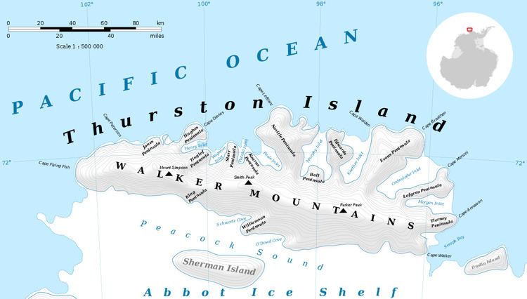
Cape Walker (72°33′S 95°57′W) is an ice-covered cape which forms the southeast end of Thurston Island. Named by Advisory Committee on Antarctic Names (US-ACAN) after Captain Edward K. Walker, captain of the Canisteo, a tanker in the Eastern Group of U.S. Navy Operation Highjump, 1946-47.
Maps
This article incorporates public domain material from the United States Geological Survey document "Cape Walker" (content from the Geographic Names Information System).
References
Cape Walker Wikipedia(Text) CC BY-SA