
 | ||
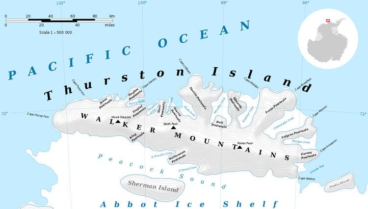
Cape Walden (71°50′S 96°53′W) is an ice-covered cape at the northwest termination of Evans Peninsula, marking the east entrance of Koether Inlet on Thurston Island. Delineated from air photos taken by U.S. Navy Squadron VX-6 in January 1960. Named by Advisory Committee on Antarctic Names (US-ACAN) for Arthur T. Walden, dog driver and leader of the Queen Maud Mountains Supporting Party of the Byrd Antarctic Expedition in 1928-30.
Maps
This article incorporates public domain material from the United States Geological Survey document "Cape Walden" (content from the Geographic Names Information System).
References
Cape Walden Wikipedia(Text) CC BY-SA