
 | ||
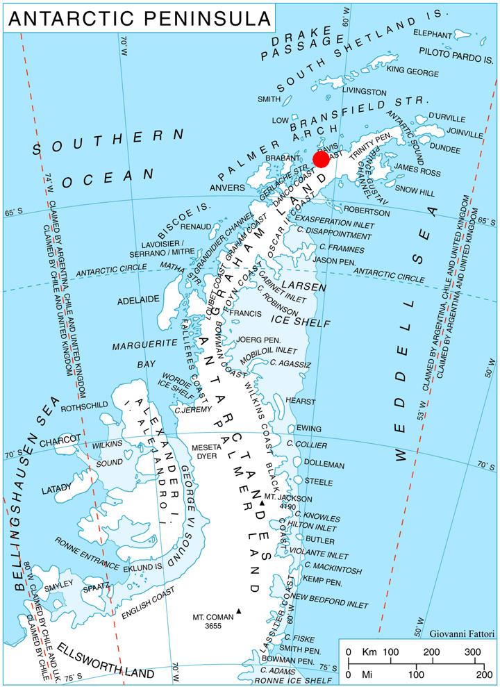
Cape Sterneck (British name Cape Herschel) (64°4′S 61°2′W) is a bold, black cliff on a projecting point forming the west extremity of Chavdar Peninsula on the west coast of Graham Land, Antarctica. It is situated on the north side of the entrance to Hughes Bay and the west side of the entrance to Curtiss Bay, and separating Davis Coast to the northeast from Danco Coast to the southwest.
In 1898, the Belgian Antarctic Expedition under Lieutenant Adrien de Gerlache explored this area and named this cape for the German geophysicist whose apparatus was used on the expedition.
Map
References
Cape Sterneck Wikipedia(Text) CC BY-SA