
Year first constructed 1877 (first) Construction concrete building | Year first lit 1957 (current) | |
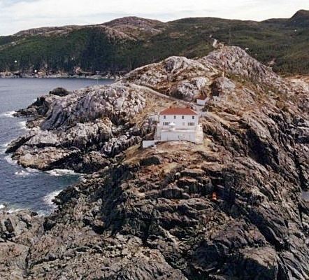 | ||
Tower shape lantern atop a 1-storey fog signal building Markings / pattern white building with a broad vertical stripe | ||
The Headland of Cape St. Francis is outer extremity marking the boundary of Conception Bay on the Avalon Peninsula of the island of Newfoundland in the Canadian province of Newfoundland and Labrador.
Map of Cape Saint Francis, Pouch Cove, NL, Canada
References
Cape St. Francis (Newfoundland and Labrador) Wikipedia(Text) CC BY-SA