
 | ||
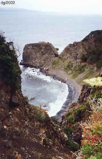
Cabo San Pío (English: Cape San Pio) at 55°3′S 66°31′W, the southernmost tip of mainland Isla Grande de Tierra del Fuego as well as of Argentina, except for the small islet Islote Blanco (55°3′48″S 66°33′12″W) that lies about 1.5 km (1 mi) off the coast in SW direction (about 0.5 km further to the south).
Map of Cabo San Pio, Argentina
The cape marks the eastern entrance to the Beagle Channel and has an 8 m high light Faro Cabo San Pío that dates back to 1919. The brick tower with red and white bands, and exterior ladder, is shaped like a bowling pin. The characteristic is two white flashes every 16 seconds and the range is 9.2 nm (17 km).
The Beagle Conflict was a border dispute between Argentina and Chile, in which Argentina claimed sovereignty of the Picton, Lennox and Nueva islands off the coast south of Tierra del Fuego, and took both countries to the brink of war in 1978. The conflicts dates back to the Boundary Treaty of July 23, 1881, which did not specify the border to details in this waters. The conflict was finally resolved on January 23, 1984, when Argentina and Chile signed the Treaty of Peace and Friendship of 1984 between Chile and Argentina giving the islands to Chile but most maritime rights to Argentina.