
 | ||
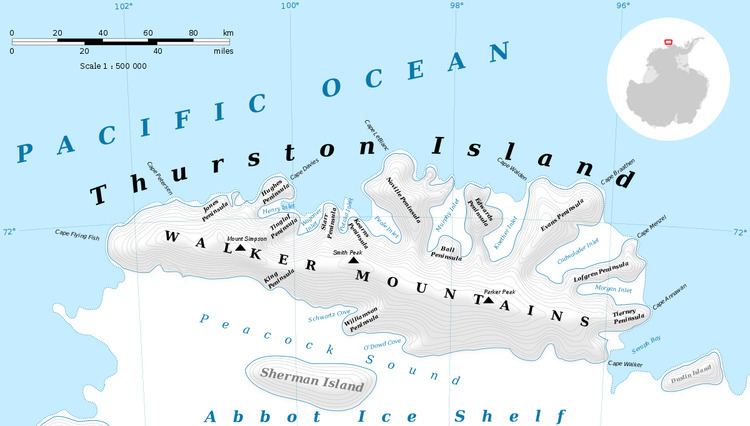
Cape LeBlanc (71°44′S 98°46′W) is the ice-covered northern extremity of Noville Peninsula, which is also the northernmost point of Thurston Island, Antarctica. It was named by the Advisory Committee on Antarctic Names after Lieutenant Ralph P. LeBlanc, U.S. Navy Reserve, plane commander of an Operation Highjump PBM Mariner seaplane that crashed 8 nautical miles (15 km) south of this cape, on December 30, 1946. Severely injured, LeBlanc was among the six of nine aboard that survived the crash. They were rescued on January 12, 1947 by Lieutenant Commander John D. Howell, who landed a PBM in open water off the northwest edge of Noville Peninsula.
Maps
References
Cape LeBlanc Wikipedia(Text) CC BY-SA