
 | ||
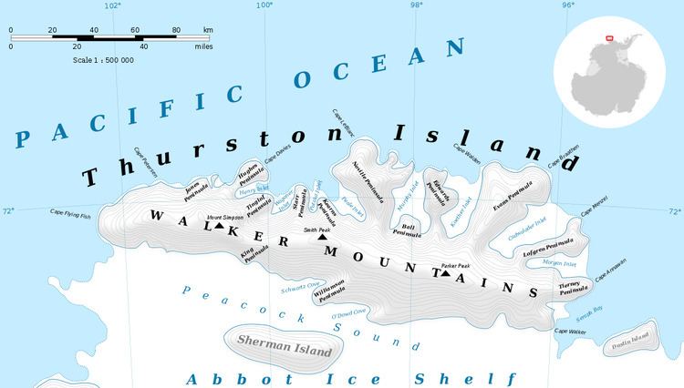
Cape Flying Fish (72°3′S 102°20′W) is an ice-covered cape which forms the western extremity of Thurston Island. It was discovered by Rear Admiral Richard E. Byrd and members of the US Antarctic Service in a flight from the Bear in February 1940. It was named by the Advisory Committee on Antarctic Names for the United States Exploring Expedition ship Flying Fish, commanded by Lieutenant William M. Walker, U.S. Navy, which reached a point within 125 miles of this cape; the ship's position on the morning of March 23, 1839 was 70°0′S 100°16′W.
Cape Flying Fish separates the Amundsen Sea in the west from the Bellingshausen Sea in the east.
Maps
References
Cape Flying Fish Wikipedia(Text) CC BY-SA