
 | ||
Location South Island,New Zealand | ||
Cape Farewell is a headland in New Zealand, the most northerly point on the South Island. It is located just west of Farewell Spit. First mapped by Abel Tasman, it was named by British explorer Captain James Cook in 1770 —it was the last land seen by his crew as they departed on the ship's homeward voyage.
Contents
Map of Cape Farewell, Puponga 7073, New Zealand
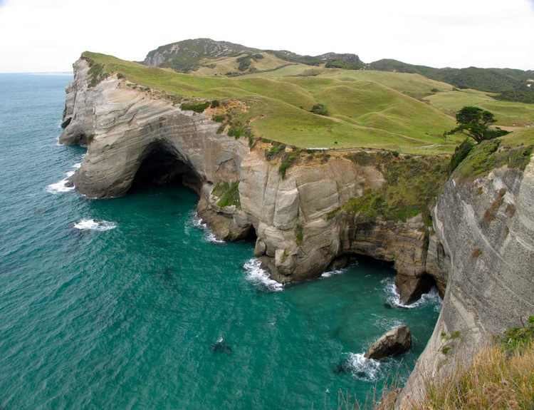
Owing to its remote location it is one of the less visited of New Zealand's major capes. The "Clifftop walk" (2–3 hours one-way along the heights of the coast East of the cape) joins the area with the beginning of Farewell Spit, and has stunning vistas of the Tasman Sea to one side, of the sand dunes in the northeast and of the towering cliffs and rocky, primal landscapes to the shoreward (east) side.
Geology
The cape and its cliffs are composed of late Cretaceous quartz sandstones. The erosion of the cliffs into fine sand carried on the sea currents creates Farewell Spit further east.