
Offshore water bodies North Atlantic Ocean | ||
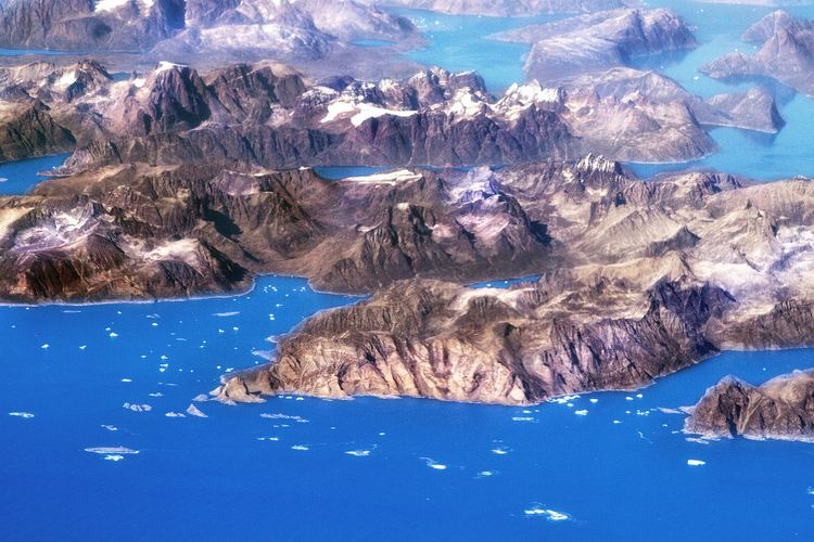 | ||
Cape Farewell (Greenlandic: Nunap Isua; Danish: Kap Farvel) is a headland on the southern shore of Egger Island, Nunap Isua Archipelago, Greenland. As the southernmost point of the country, it is one of the important landmarks of Greenland.
Contents
Map of Cape Farewell, Greenland
Geography
Located at 59°46′23″N 43°55′21″W this cape is the southernmost extent of Greenland, projecting out into the North Atlantic Ocean and the Labrador Sea on the same latitude as St Petersburg, Oslo and the Shetland Islands. Egger and the associated minor islands are known as the Cape Farewell Archipelago. The area is part of the Kujalleq municipality. King Frederick VI Coast stretches from Cape Farewell to Pikiulleq Bay (former spelling 'Pikiutdleq') in the north along the eastern coast of Greenland.
References
Cape Farewell, Greenland Wikipedia(Text) CC BY-SA