
 | ||
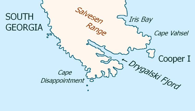
Cape Disappointment (54°53′S 36°7′W) is a headland which forms the southern extremity of South Georgia. It was first charted and so named in 1775 by a British expedition under James Cook, who upon reaching this position was greatly disappointed in realizing that South Georgia was an island rather than a continent.
Map of Cape Disappointment, SIQQ 1ZZ, South Georgia and the South Sandwich Islands
References
Cape Disappointment (South Georgia) Wikipedia(Text) CC BY-SA