
 | ||
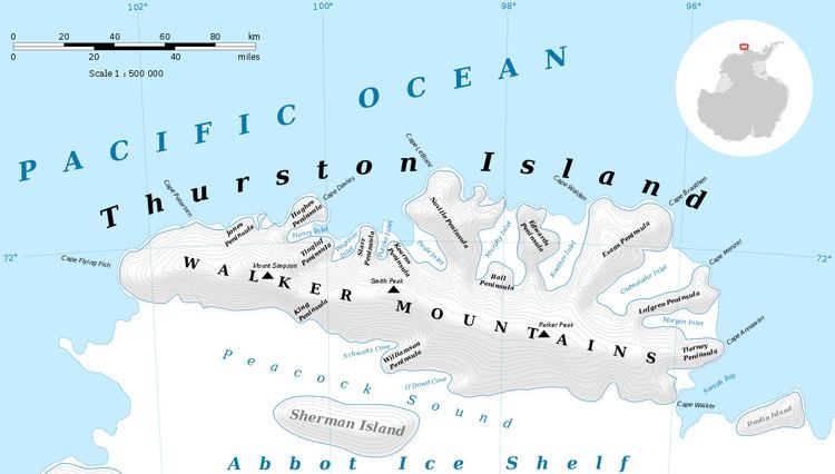
Cape Braathen (71°53′S 96°6′W) is an ice-covered cape at the northwest termination of Evans Peninsula on Thurston Island. Cape Walden lies to the west across Koether Inlet, Cape Menzel lies southeast across Cadwalader Inlet. It was delineated from aerial photographs taken by U.S. Navy Squadron VX-6 in January 1960, and named by the Advisory Committee on Antarctic Names for Christoffer Braathen, ski expert and dog driver with the Byrd Antarctic Expedition of 1928-30.
Maps
References
Cape Braathen Wikipedia(Text) CC BY-SA