
Area 1,641 km² | Time zone BRT/BRST (UTC-3/-2) Local time Thursday 5:38 PM | |
 | ||
Weather 22°C, Wind W at 8 km/h, 90% Humidity | ||
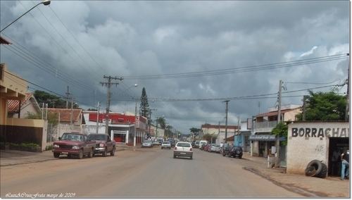
Capão Bonito is a municipality in the state of São Paulo in Brazil. The population is 47,486 (2015 est.) in an area of 1640 km². The elevation is 705 m.
Map of Cap%C3%A3o Bonito - State of S%C3%A3o Paulo, Brazil
The municipality contains part of the 37,644 hectares (93,020 acres) Carlos Botelho State Park, created in 1982. It contains part of the 488,865 hectares (1,208,010 acres) Serra do Mar Environmental Protection Area, created in 1984. It also contains the 22,269 hectares (55,030 acres) Nascentes do Paranapanema State Park, created in 2012.
References
Capão Bonito Wikipedia(Text) CC BY-SA