
State California GNIS feature ID 2583151 Zip code 91351 Population 59,530 (2010) | Time zone Pacific (PST) (UTC-8) Elevation 466 m Local time Wednesday 6:50 AM Area code 661 | |
 | ||
Weather 13°C, Wind NE at 18 km/h, 39% Humidity Colleges and Universities Charter College - Canyon Country, Clarita Career College | ||
Canyon Country is a community and district within the city of Santa Clarita, located in northwestern Los Angeles County, California, United States.
Contents
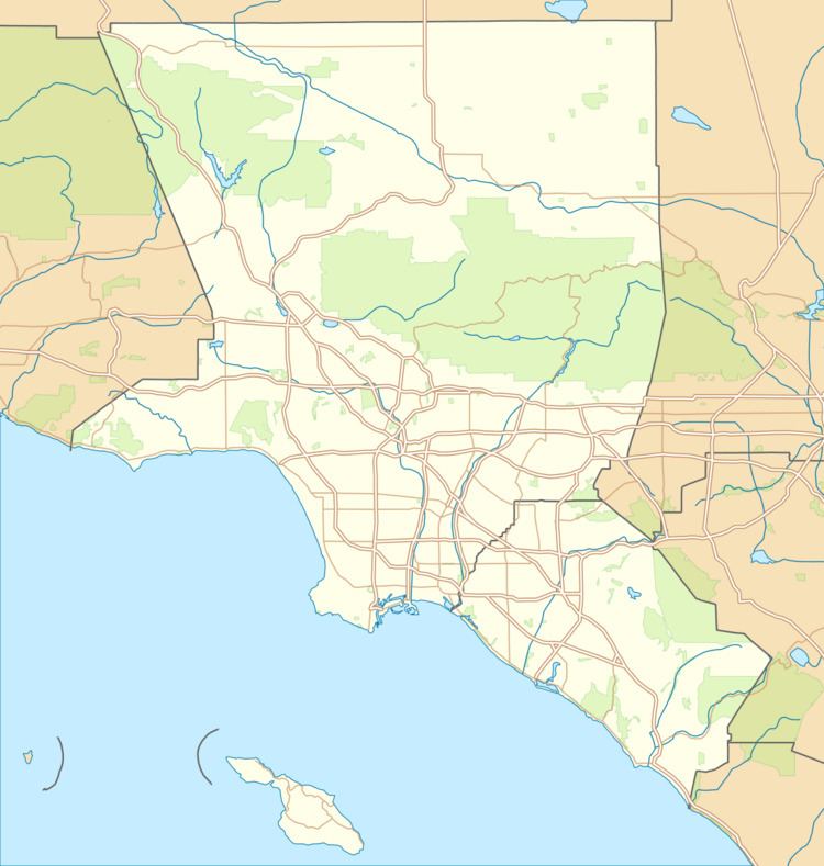
Map of Canyon Country, Santa Clarita, CA 91351, USA
Canyon Country is north of the San Fernando Valley via Newhall Pass through the Santa Susana and San Gabriel Mountains. Canyon Country is located in the upper watershed of the Santa Clara River in the Santa Clarita Valley and Sierra Pelona Mountains foothills.
History
The area was the ancestral homeland of the Tataviam people for over five hundred years, and other tribes before then, such as the Tongva, Kitanemuk, and Serrano people. After the Spanish invasion, the valley first became grazing lands of the Mission San Fernando Rey de España around 1790. In 1834, after Mexican Independence, it became part of the Rancho San Francisco land grant centered on the confluence of the Santa Clara River and Castaic Creek.
In the 1880s the rancho become the Newhall Ranch empire of Henry Newhall, now the present day Newhall Land and Farming Company. In 1928 the St. Francis Dam collapsed, suddenly flooding and washing away settlements and people along the Santa Clara River section of present-day Santa Clarita not including Canyon Country. Canyon Country was originally to be called Solemint. It later absorbed the community to the west called Honby. In the 1960s and 1970s the Newhall Land company's suburban developments transformed Canyon Country and the surrounding towns into a focused residential and cultural city.
The house of The Crandall family used in the movie Don't Tell Mom the Babysitter's Dead is located in this town. The hit ABC shows Wipeout, Winter Wipeout, and Spring Wipeout are all filmed here.
The Canyon Country area was a mecca for show business personalities like Cliffe Stone of Home Town Jamboree, singer Gene Vincent, Hall of Fame Guitarist Bill Aken (aka Zane Ashton), actress Linda Gray, rock and roll legend Del Shannon, among others. The William S. Hart ranch was a well known tourist attraction along with Gene Autry's Melody Ranch.
Santa Clarita founding
In 1987, Canyon Country was one of four communities, with Valencia, Newhall, and Saugus, that merged to create the city of Santa Clarita, California. The latitude of Canyon Country is 34.423N and the longitude is -118.471W. Canyon Country has a population of 59,530 people.
Canyon Country is home to the Placerita Canyon Nature Center, which is also the site of California's original gold discovery at the historic "Oak of the Golden Dream" in 1842.
Services
The Los Angeles County Fire Department Station 104 (Quint) and Station 107 (Engine and Paramedic Squad) serve the community.