
State Piauí Time zone UTC -3 | Region Nordeste Mesoregion Sudoeste Piauiense Area 4,326 km² | |
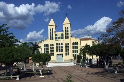 | ||
Canto do Buriti is a municipality in the state of Piauí in the Northeast region of Brazil.
Map of Canto do Buriti - Piau%C3%AD, Brazil
The municipality contains part of the 823,843 hectares (2,035,760 acres) Serra das Confusões National Park, created in 1998, which protects an area of the Caatinga biome. The municipality is in the Capivara-Confusões Ecological Corridor, created in 2006 to link the Serra da Capivara National Park to the Serra das Confusões National Park.
References
Canto do Buriti Wikipedia(Text) CC BY-SA